About
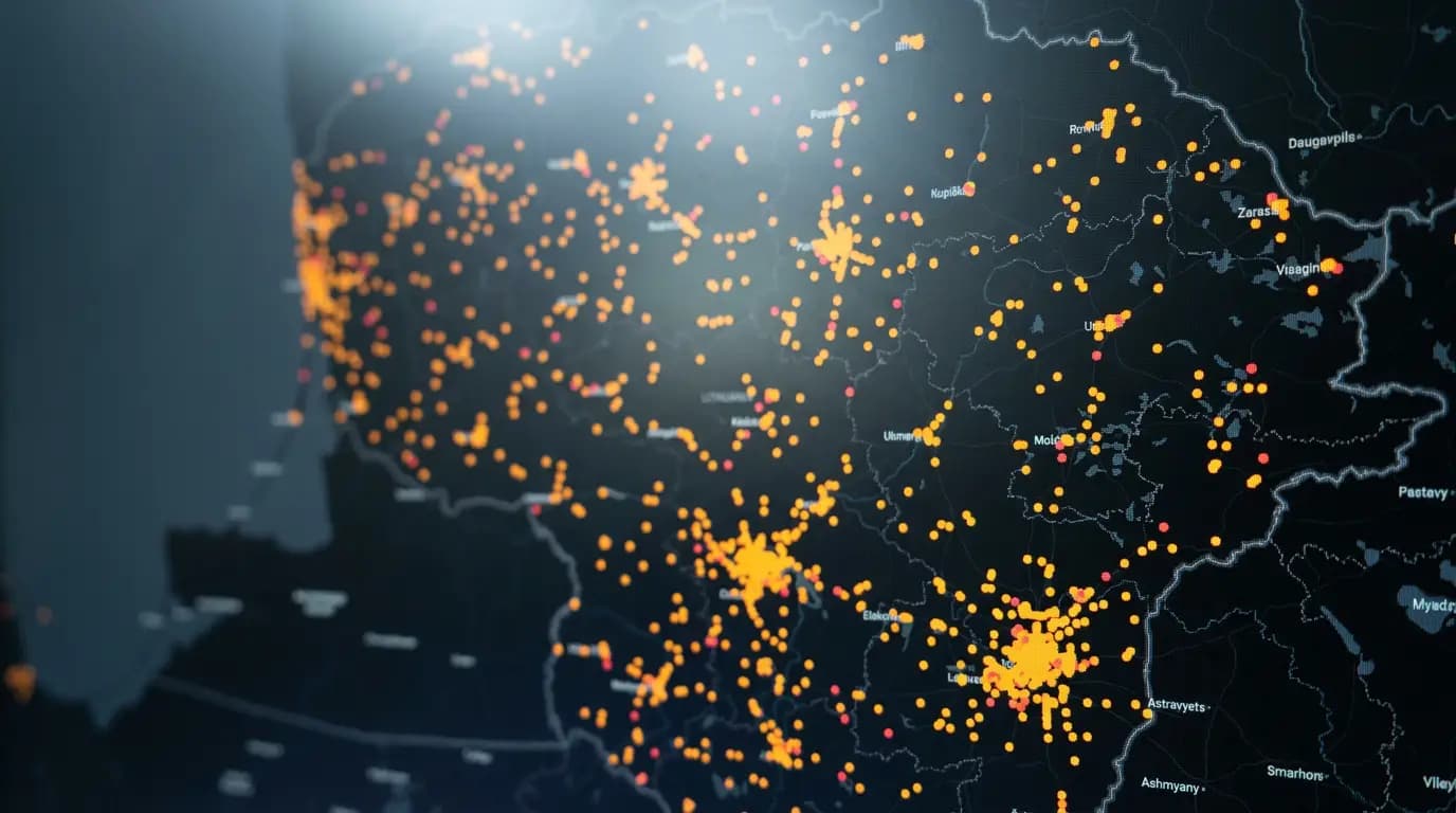
ivykiuzemelapis.lt is an interactive road-accident map: every accident recorded in Lithuania is brought together in one place and made easy to understand. Every dot on the map is a real event with its own circumstances.
Detail
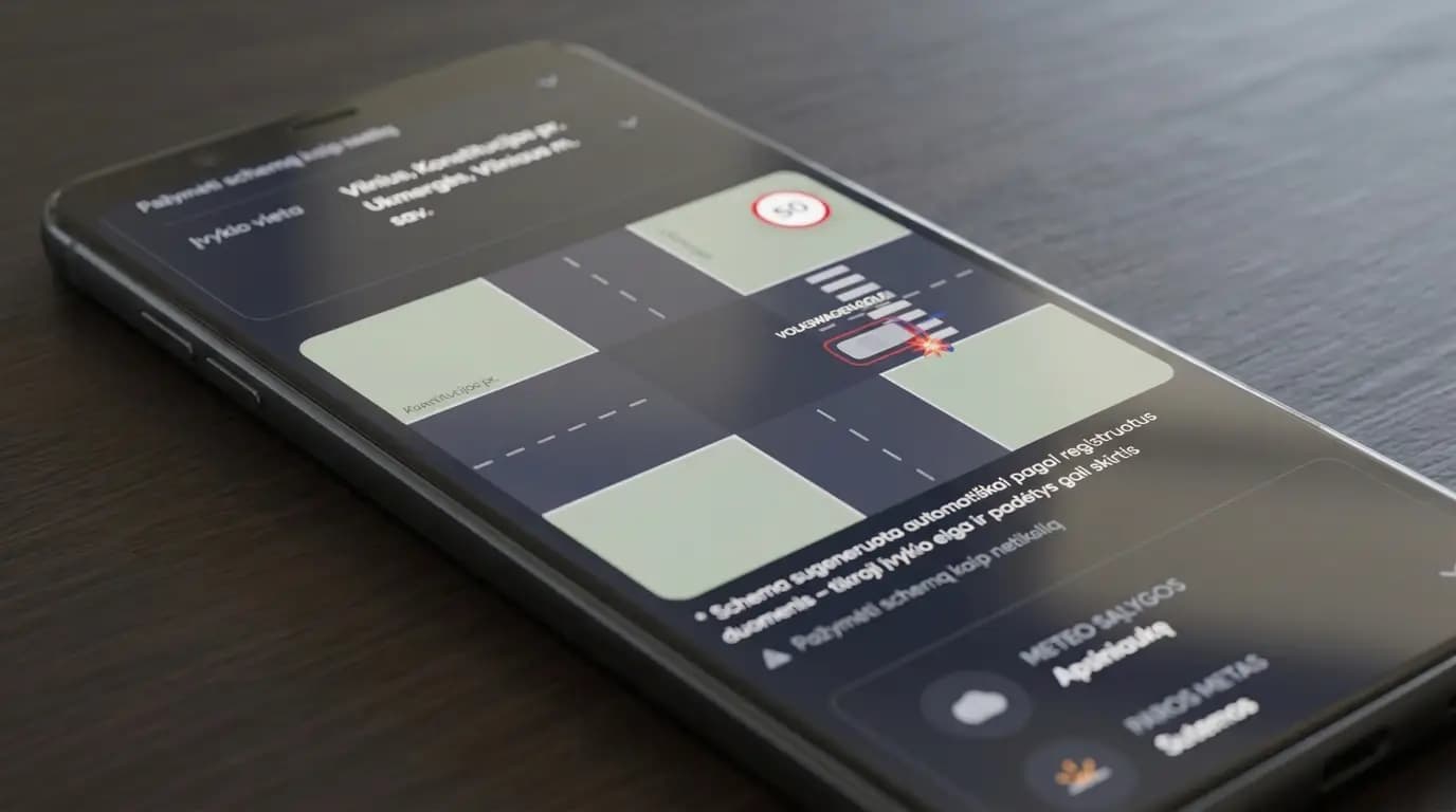
A scene diagram for every accident
For every accident a scene diagram is reconstructed automatically — you can see the positions of the vehicles and the circumstances of the crash, not just a dot on the map.
Street view
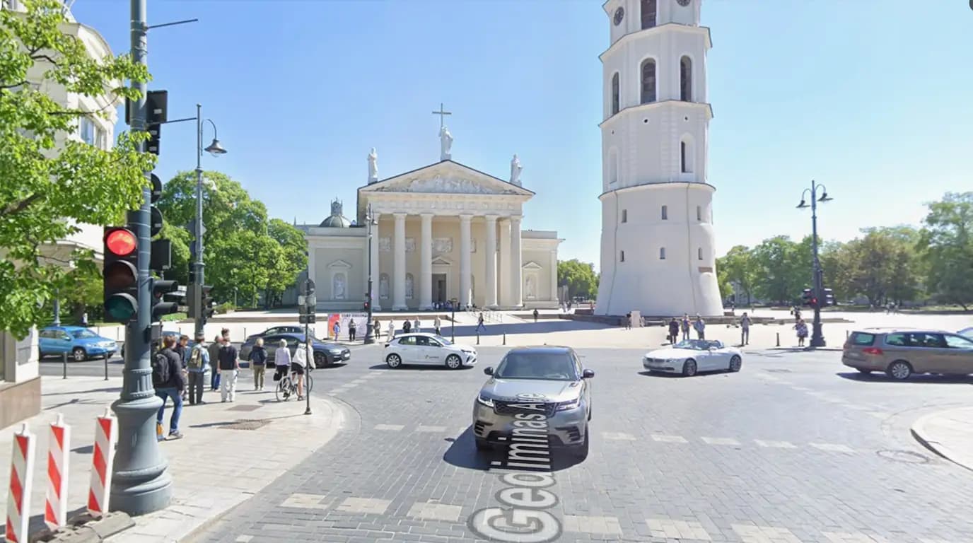
The scene in Google Street View
You can look at the accident site in Google Street View (wherever such imagery is available). That makes it far easier to understand the surroundings and the conditions in which the crash happened.
Precision
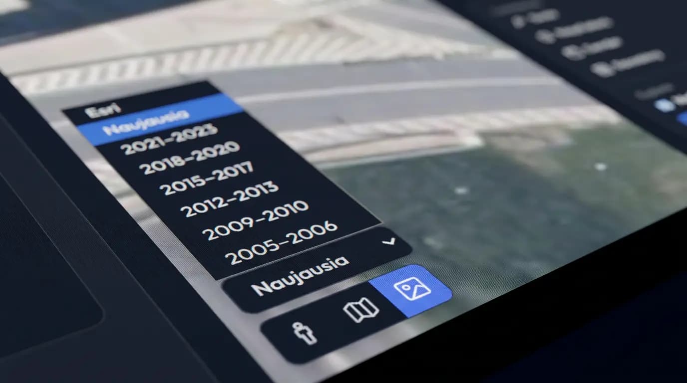
The exact location on orthophotos
You can see the exact location on orthophotos taken in the very year the accident happened. And when exact coordinates are missing, the road stretch and the accident's kilometre marker are highlighted instead.
Comparison
Rates and charts
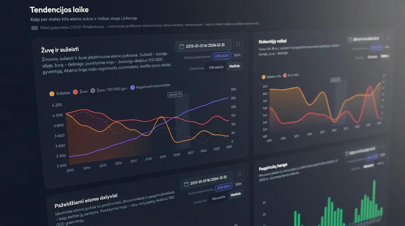
More than 40 charts are available: trends over time, municipality rankings, the daily and weekly rhythm, road users (age, driving experience, intoxication, pedestrians) and circumstances — crash type, speed, road category. Instead of single accidents you see the patterns: where and when the risk is highest, and how it changes.
Conditions
Historical weather at the time of the crash
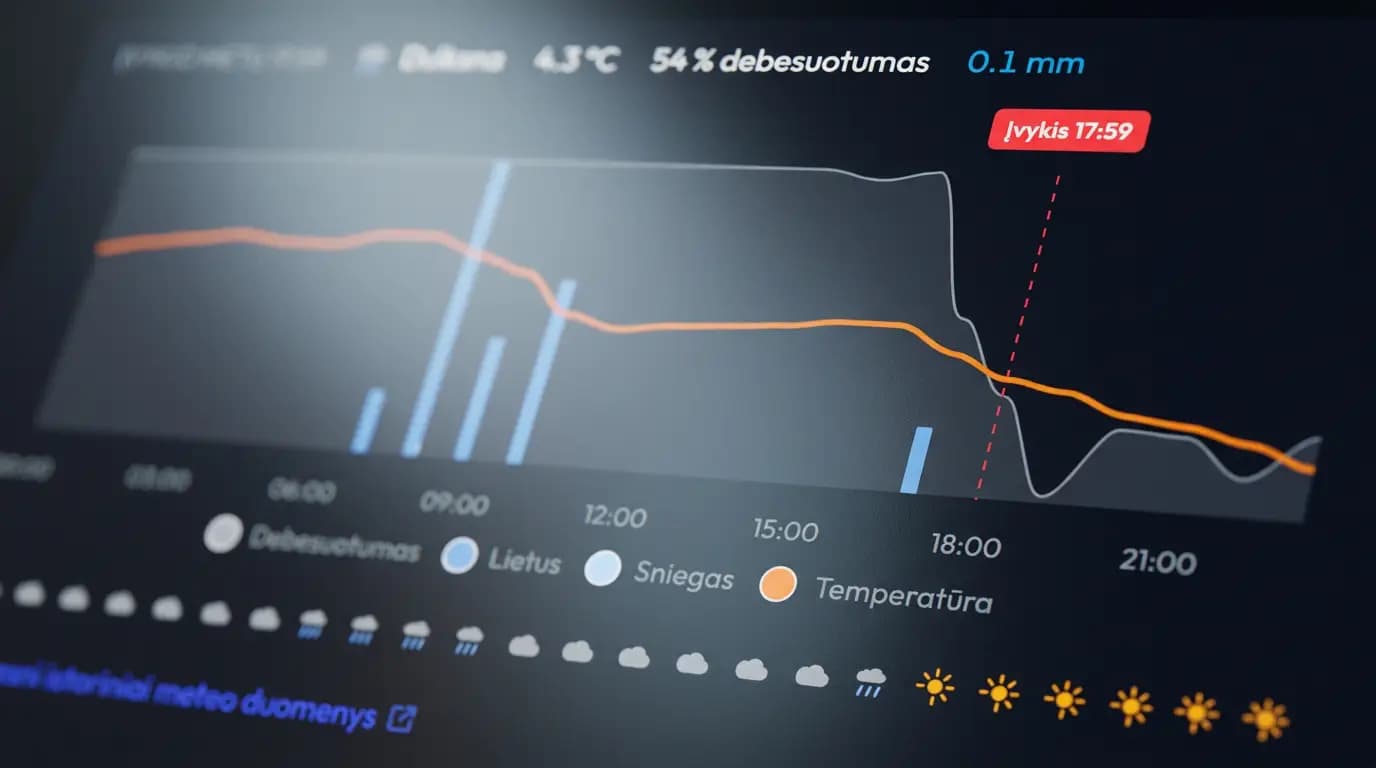
For every accident you can open that day's weather history at the crash point itself — temperature, cloud cover, rain and snow hour by hour. The conditions that the official record sums up in a single word.
Who it is for
Residents can judge the most dangerous spots in their own neighbourhood, researchers and journalists can find well-grounded facts, and municipalities and road-safety professionals can base their decisions on data.
The entire site — accident descriptions and charts included — is available in English as well as Lithuanian, so the data reaches well beyond Lithuanian speakers: expats living here, researchers abroad and foreign media.
Įvykių Žemėlapis is an independent hobby project.
The site is built in their spare time by someone who cares about safety on Lithuanian roads — a road-safety and open-data enthusiast. It is not supported, funded or run by any government or municipal body. It uses official open data, but the selection, processing and presentation are the author's own, so ivykiuzemelapis.lt is not an official source of statistics.
Data sources
- Traffic accidents
- Police Department under the Ministry of the Interior — open data, CC BY 4.0. Some locations refined by the author.
- Population and vehicle statistics
- Statistics Lithuania — osp.stat.gov.lt.
- Base map and roads
- CARTO / OpenStreetMap; state roads — data.gov.lt.
- Contacts
- [email protected]